Titiwangsa Mountains on:
[Wikipedia]
[Google]
[Amazon]
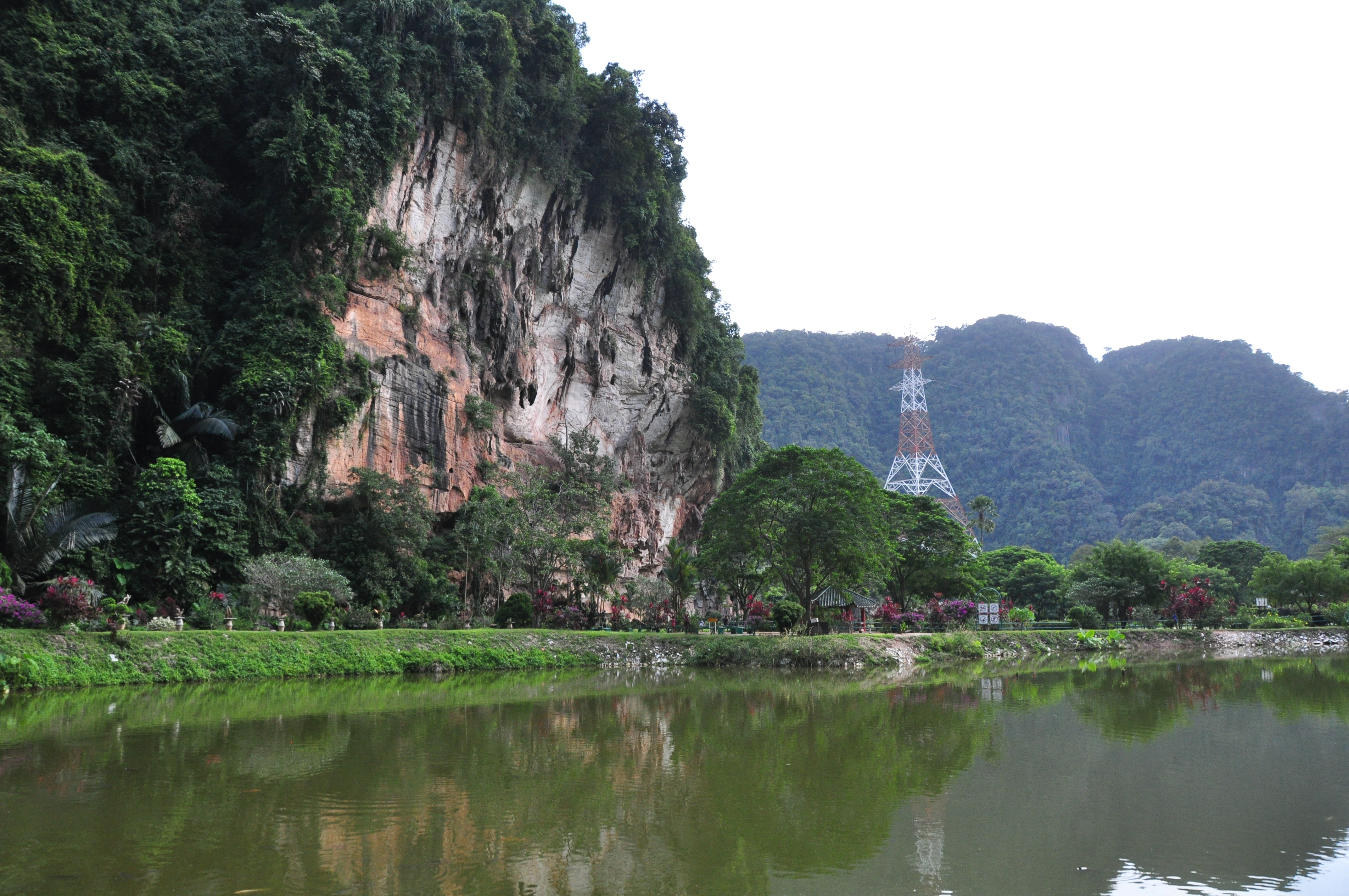
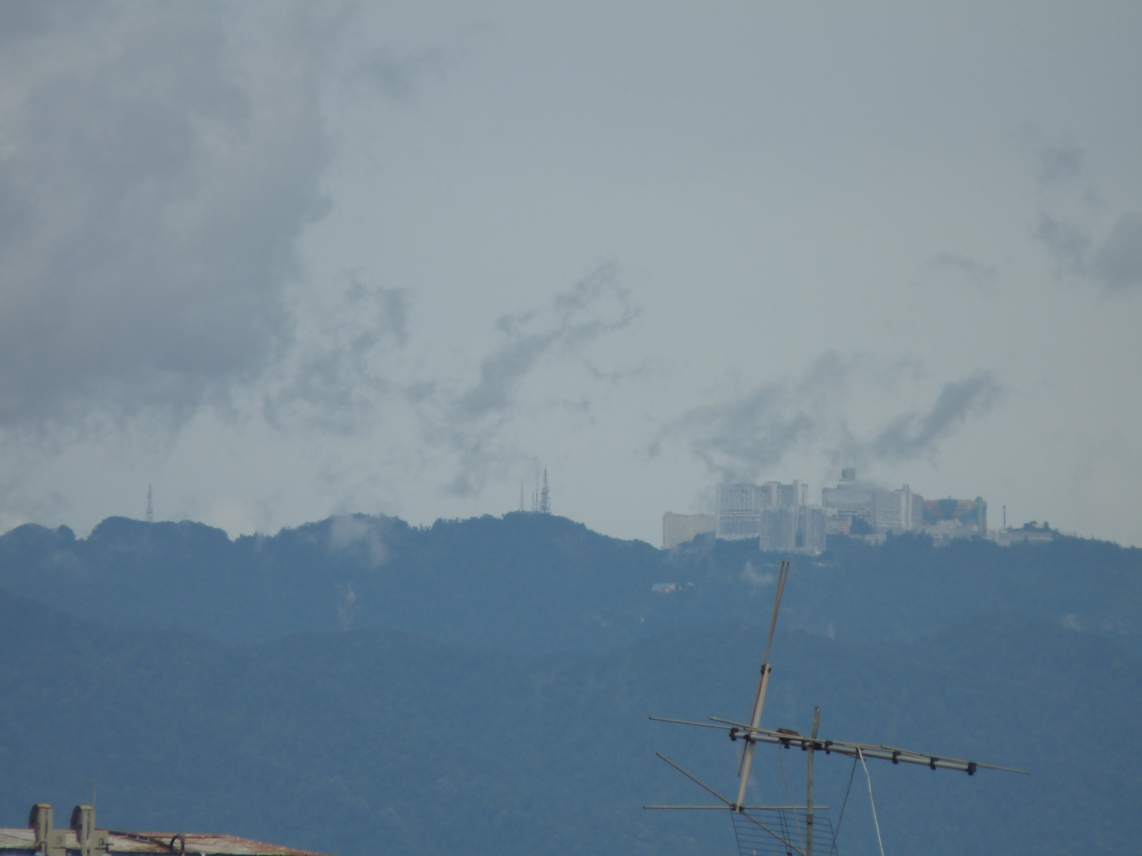
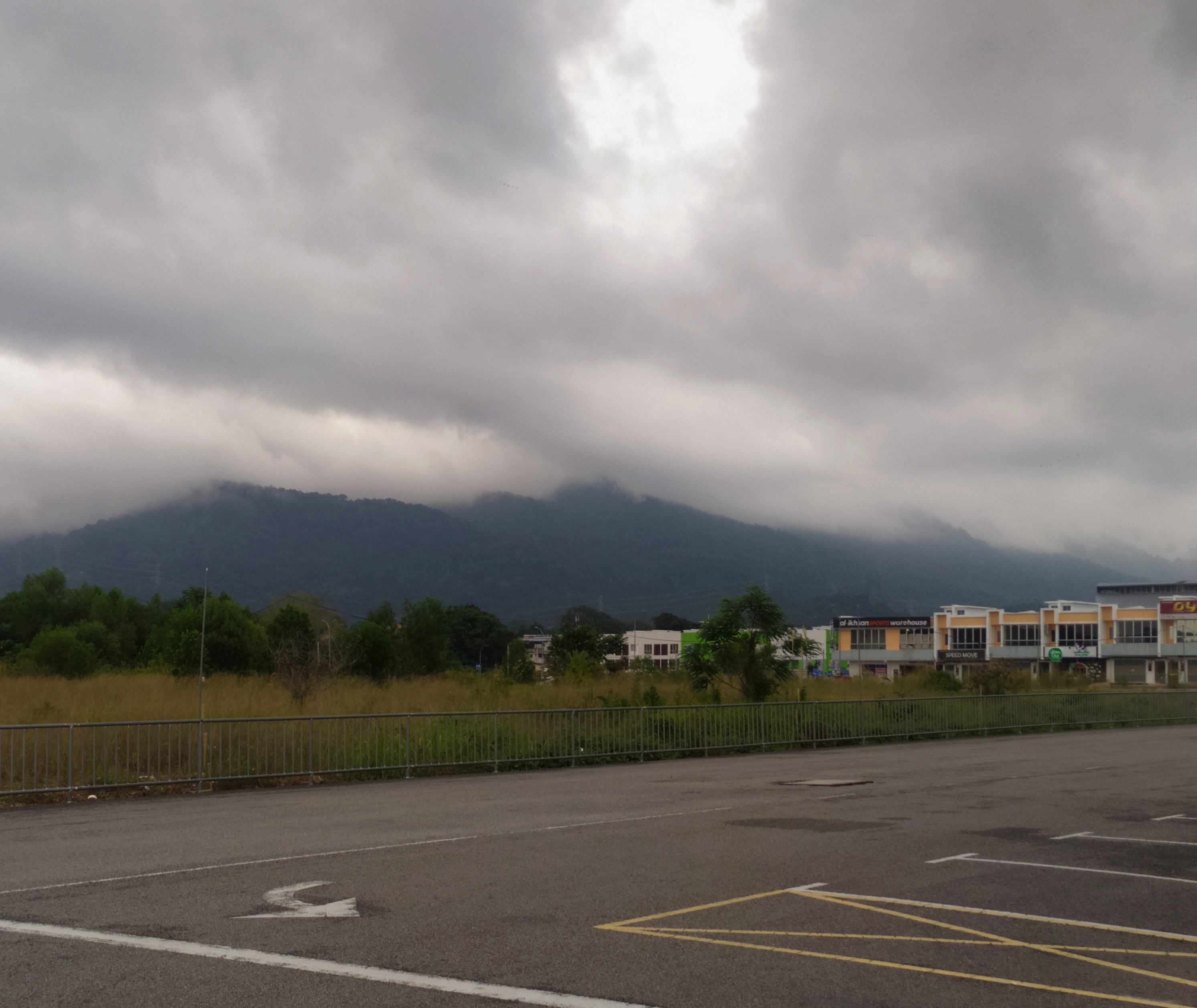
The Titiwangsa Mountains ( Malay: ''Banjaran Titiwangsa,'' بنجرن تيتيوڠسا, ), also known as ''"Banjaran Besar"'' (Big Range) by locals, is the chain of mountains that forms the backbone of the Malay Peninsula.
The northern section of the range is in

 The Titiwangsa Range is part of a
 This mountain range is a part of the wider

 Several popular


Perak Tourism - Royal Belum State ParkGunung Stong State ParkSan Kara Khiri National ParkBudo - Su-ngai Padi National ParkNamtok Sai Khao National Park
{{Mountain ranges of Thailand Malay Peninsula Mountain ranges of Thailand Mountain ranges of Malaysia Peninsular Malaysia Southern Thailand
southern Thailand
Southern Thailand, Southern Siam or Tambralinga is a southernmost cultural region of Thailand, separated from Central Thailand region by the Kra Isthmus.
Geography
Southern Thailand is on the Malay Peninsula, with an area of around , bounde ...
, where it is known as Sankalakhiri Range ( th, ทิวเขาสันกาลาคีรี, ).
The range acts as a natural divider, dividing Peninsular Malaysia
Peninsular Malaysia ( ms, Semenanjung Malaysia; Jawi: سمننجڠ مليسيا), or the States of Malaya ( ms, Negeri-negeri Tanah Melayu; Jawi: نڬري-نڬري تانه ملايو), also known as West Malaysia or the Malaysian Peninsula, ...
, as well as southernmost Thailand, into east and west coast regions. It is also the source of some major rivers of Peninsular Malaysia such as the Pahang
Pahang (; Jawi: , Pahang Hulu Malay: ''Paha'', Pahang Hilir Malay: ''Pahaeng'', Ulu Tembeling Malay: ''Pahaq)'' officially Pahang Darul Makmur with the Arabic honorific ''Darul Makmur'' (Jawi: , "The Abode of Tranquility") is a sultanate and ...
, Perak, Kelantan, Klang and Muar. The length of mountain range is about 480 km from north to south.
Geology

 The Titiwangsa Range is part of a
 suture zone
In structural geology, a suture is a joining together along a major fault zone, of separate terranes, tectonic units that have different plate tectonic, metamorphic and paleogeographic histories. The suture is often represented on the surface by ...
that runs north-south, starting in Thailand
Thailand ( ), historically known as Siam () and officially the Kingdom of Thailand, is a country in Southeast Asia, located at the centre of the Indochinese Peninsula, spanning , with a population of almost 70 million. The country is b ...
at the Nan
Nan or NAN may refer to:
Places China
* Nan County, Yiyang, Hunan, China
* Nan Commandery, historical commandery in Hubei, China
Thailand
* Nan Province
** Nan, Thailand, the administrative capital of Nan Province
* Nan River
People Given name
...
- Uttaradit suture zone (partly coincident with the Dien Bien Phu fault), and extending south towards Peninsular Malaysia
Malaysia ( ; ) is a country in Southeast Asia. The federation, federal constitutional monarchy consists of States and federal territories of Malaysia, thirteen states and three federal territories, separated by the South China Sea into two r ...
( Bentong- Raub suture zone). The western half of the Titiwangsa Mountains in Peninsular Malaysia
Peninsular Malaysia ( ms, Semenanjung Malaysia; Jawi: سمننجڠ مليسيا), or the States of Malaya ( ms, Negeri-negeri Tanah Melayu; Jawi: نڬري-نڬري تانه ملايو), also known as West Malaysia or the Malaysian Peninsula, ...
is an amalgamation of continental terrane
In geology, a terrane (; in full, a tectonostratigraphic terrane) is a crust (geology), crust fragment formed on a tectonic plate (or broken off from it) and Accretion (geology), accreted or "Suture (geology), sutured" to crust lying on another pla ...
s known as Cimmeria or Indochina, whereas the eastern half is an amalgamation of continental terranes Sinoburmalaya or Sibumasu. These two halves of terranes were separated by the Paleo-Tethys Ocean
The Paleo-Tethys or Palaeo-Tethys Ocean was an ocean located along the northern margin of the paleocontinent Gondwana that started to open during the Middle Cambrian, grew throughout the Paleozoic, and finally closed during the Late Triassic; exi ...
.
The Cimmeria was separated from Gondwana around 400 mya during the Devonian and rifted towards Laurasia, the northeastern arm of Pangea
Pangaea or Pangea () was a supercontinent that existed during the late Paleozoic and early Mesozoic eras. It assembled from the earlier continental units of Gondwana, Euramerica and Siberia during the Carboniferous approximately 335 million y ...
. It attached to Laurasia completely around 280 mya during the Late Permian
Late may refer to:
* LATE, an acronym which could stand for:
** Limbic-predominant age-related TDP-43 encephalopathy, a proposed form of dementia
** Local-authority trading enterprise, a New Zealand business law
** Local average treatment effect, ...
.
Sibumasu terranes on the other hand, only started to separate from Gondwana during the Early Permian and rifted towards Indochina. The collision of Sibumasu terranes and Indochina terranes during 200mya Late Triassic
The Late Triassic is the third and final epoch of the Triassic Period in the geologic time scale, spanning the time between Ma and Ma (million years ago). It is preceded by the Middle Triassic Epoch and followed by the Early Jurassic Epoch. ...
resulted in the closure of the Paleo-Tethys Ocean and formation of the modern Titiwangsa Mountain belts.
Geography
 This mountain range is a part of the wider
 Tenasserim Hills
The Tenasserim Hills or Tenasserim Range ( my, တနင်္သာရီ တောင်တန်း, ; th, ทิวเขาตะนาวศรี, , ; ms, Banjaran Tanah Seri/Banjaran Tenang Sari) is the geographical name of a r ...
system. It forms the southernmost section of the Indo-Malayan cordillera
A cordillera is an extensive chain and/or network system of mountain ranges, such as those in the west coast of the Americas. The term is borrowed from Spanish, where the word comes from , a diminutive of ('rope').
The term is most commonly u ...
which runs from Tibet
Tibet (; ''Böd''; ) is a region in East Asia, covering much of the Tibetan Plateau and spanning about . It is the traditional homeland of the Tibetan people. Also resident on the plateau are some other ethnic groups such as Monpa, Taman ...
through the Kra Isthmus
The Kra Isthmus ( th, คอคอดกระ, ) in Thailand is the narrowest part of the Malay Peninsula. The western part of the isthmus belongs to Ranong Province and the eastern part to Chumphon Province, both in Southern Thailand. The ...
into the Malay Peninsula.
The Titiwangsa Mountains begins in the north as the Sankalakhiri Range, a prolongation of the Nakhon Si Thammarat Range
The Nakhon Si Thammarat Range ( th, ทิวเขานครศรีธรรมราช, , ) is a mountain range on the Malay peninsula in southern Thailand, running in a north–south direction. This mountain chain is also sometimes named Ba ...
which includes the smaller Pattani, Taluban, and Songkhla sub-ranges. The Sankalakhiri marks the border between the Southern Thailand
Southern Thailand, Southern Siam or Tambralinga is a southernmost cultural region of Thailand, separated from Central Thailand region by the Kra Isthmus.
Geography
Southern Thailand is on the Malay Peninsula, with an area of around , bounde ...
provinces of Yala in west and Narathiwat
Narathiwat ( th, นราธิวาส, ) is a town (thesaban mueang) in southern Thailand and capital of Narathiwat Province. The town is in the Mueang Narathiwat District and was established in 1936. As of 2008, the population was 40,521. ...
in the east. Across the border into Malaysia, the main stretch of the range runs in a northwest-southeast orientation, straddling the borders between the west coast states of Perak and Selangor
Selangor (; ), also known by its Arabic language, Arabic honorific Darul Ehsan, or "Abode of Sincerity", is one of the 13 Malaysian states. It is on the west coast of Peninsular Malaysia and is bordered by Perak to the north, Pahang to the east ...
with Kelantan and Pahang
Pahang (; Jawi: , Pahang Hulu Malay: ''Paha'', Pahang Hilir Malay: ''Pahaeng'', Ulu Tembeling Malay: ''Pahaq)'' officially Pahang Darul Makmur with the Arabic honorific ''Darul Makmur'' (Jawi: , "The Abode of Tranquility") is a sultanate and ...
on the eastern side of the peninsula. From the tripoint
A tripoint, trijunction, triple point, or tri-border area is a geographical point at which the boundaries of three countries or subnational entities meet. There are 175 international tripoints as of 2020. Nearly half are situated in rivers, l ...
of Pahang
Pahang (; Jawi: , Pahang Hulu Malay: ''Paha'', Pahang Hilir Malay: ''Pahaeng'', Ulu Tembeling Malay: ''Pahaq)'' officially Pahang Darul Makmur with the Arabic honorific ''Darul Makmur'' (Jawi: , "The Abode of Tranquility") is a sultanate and ...
, Selangor
Selangor (; ), also known by its Arabic language, Arabic honorific Darul Ehsan, or "Abode of Sincerity", is one of the 13 Malaysian states. It is on the west coast of Peninsular Malaysia and is bordered by Perak to the north, Pahang to the east ...
and Negeri Sembilan near Mount Nuang
Mount Nuang ( ms, Gunung Nuang) is located in Malaysia with the height of . Its peak borders Pahang and Selangor state and is close to the Pahang-Selangor-Negeri Sembilan border tripoint. The mountain itself is the second highest point in Selango ...
, it then transverses through the middle of the state of Negeri Sembilan, also a west coast state, thus dividing the state into two regions - western Negeri Sembilan, which consists of Seremban
Seremban (Negeri Sembilan Malay: ''Soghomban'', ''Somban''; Jawi: ) is a city in the Seremban District and the capital of the state of Negeri Sembilan in Peninsular Malaysia. The city's administration is run by the Seremban City Council. Se ...
, Port Dickson
Port Dickson (Negeri Sembilan Malay: ''Podeksen'', Jawi: ) is a beach resort in Port Dickson District, Negeri Sembilan, Malaysia. It is the second largest urban area in Negeri Sembilan after Seremban, its state capital. The town's admin ...
and Rembau Districts, and eastern Negeri Sembilan, composed of the districts of Jelebu, Kuala Pilah
Kuala Pilah (Negeri Sembilan Malay: ''Kolo Pilah''), or simply Pilah, is a town in Kuala Pilah District, Negeri Sembilan, Malaysia.
Townscape
Kuala Pilah is an old valley town with many of the pre-war Chinese shop houses still fronting the ...
, Jempol and Tampin - and ends in the south near Tampin, in the southern part of the state. Foothills
Foothills or piedmont are geographically defined as gradual increases in elevation at the base of a mountain range, higher hill range or an upland area. They are a transition zone between plains and low relief hills and the adjacent topogr ...
extend further southeastwards into Melaka
Malacca ( ms, Melaka) is a state in Malaysia located in the southern region of the Malay Peninsula, next to the Strait of Malacca. Its capital is Malacca City, dubbed the Historic City, which has been listed as a UNESCO World Heritage Site si ...
and Johor
Johor (; ), also spelled as Johore, is a state of Malaysia in the south of the Malay Peninsula. Johor has land borders with the Malaysian states of Pahang to the north and Malacca and Negeri Sembilan to the northwest. Johor shares maritime ...
with its terminus at Mount Pulai
Mount Pulai ( ms, Gunung Pulai) is a mountain located in the district of Kulai, Johor, Malaysia.
History World War II
During the World War II, Mount Pulai served as the British Commonwealth armies stronghold against the invading Japanese Imperi ...
.
The highest elevation is 2,183 m (7,162 ft) Gunung Korbu. On the Thai side the highest point is 1,533 m Ulu Titi Basah (ยูลูติติ บาซาห์), at the Thai/Malaysian border between Yala Province and Perak. In the southern foothills, the highest is 1,276 m Mount Ledang.
Features

tourist destination
A tourist attraction is a place of interest that tourists visit, typically for its inherent or an exhibited natural or cultural value, historical significance, natural or built beauty, offering leisure and amusement.
Types
Places of natural ...
s such as Royal Belum, Cameron Highlands
The Cameron Highlands ( ms, Tanah Tinggi Cameron, , ta, கேமரன் மலை) is a district in Pahang, Malaysia, occupying an area of . To the north, its boundary touches that of Kelantan; to the west, it shares part of its border with ...
, Genting Highlands
Genting Highlands is a hill station located on the peak of Mount Ulu Kali in the Titiwangsa Mountains, central Peninsular Malaysia, at 1,800 metres elevation. Located in the state of Pahang. It was established in 1965 by the late Chinese busines ...
and Fraser's Hill
Fraser's Hill is a hill resort located on the Titiwangsa Ridge in Raub District, Pahang, Malaysia. It is about north of Kuala Lumpur. In 1890, Louis James Fraser established the area as a tin mining community known as Pamah Lebar when he dis ...
are located on the range.
Two of Malaysia's largest metropolitan areas are located along the western fringes of the range, namely Greater Kuala Lumpur
Greater Kuala Lumpur is the geographical term that determines the boundaries of Metropolitan Kuala Lumpur in Malaysia. Though similar to the term "Klang Valley", there remains a variation between the two. It is similar to Greater London and Grea ...
(ranked #1) and Kinta Valley (ranked #4). The Kinta Valley Geopark encompasses the entirety of Kinta Valley, where kegelkarst topography is prevalent.
A number of roads cut through the Titiwangsa Forest Complex within the larger Central Forest Spine (CFS) conservation area.
Protected areas
Thailand
* San Kala Khiri National Park * Budo - Su-ngai Padi National Park *Namtok Sai Khao National Park Nam tok ( th, น้ำตก) is a Thai and Lao word meaning waterfall. It can refer to:
*Nam Tok Railway Station
Nam Tok railway station is a railway station located in Tha Sao Subdistrict, Sai Yok District, Kanchanaburi. The station is a c ...
* Hala Bala Wildlife Sanctuary
Malaysia
* Gunung Stong State Park * Royal Belum State Park *Taman Negara
Taman Negara is a national park in Peninsular Malaysia. It was established in 1938/1939 as the King George V National Park after Theodore Hubback lobbied the sultans of Pahang, Terengganu and Kelantan to set aside a piece of land that covers the ...
*Krau Wildlife Reserve
Krau Wildlife Reserve is the largest wildlife reserve covering 60,349 ha located in the Titiwangsa Mountains, central state of Pahang, Malaysia that was established during the British Colonial Administration. It is located nearby Benom Mountain in ...
* Kinta Valley National Geopark
Gallery


References
External links
Perak Tourism - Royal Belum State Park
{{Mountain ranges of Thailand Malay Peninsula Mountain ranges of Thailand Mountain ranges of Malaysia Peninsular Malaysia Southern Thailand